In Patagonia there’s nothing more iconic than the Carretera Austral. Start with the Ruta 7, then Ruta 40 in Argentina, Ruta 9 back to Chile, Ruta 257 until the border and pick the Ruta 3 for the last bit. Probably, all of us have travelled along this route to get to the World’s End and always simply referred to it as Carretera Austral (even though that’s technically not correct).
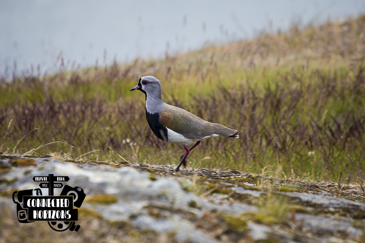
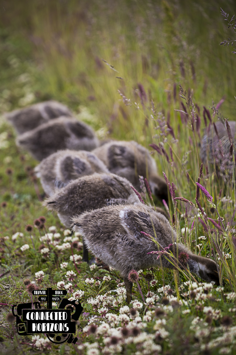
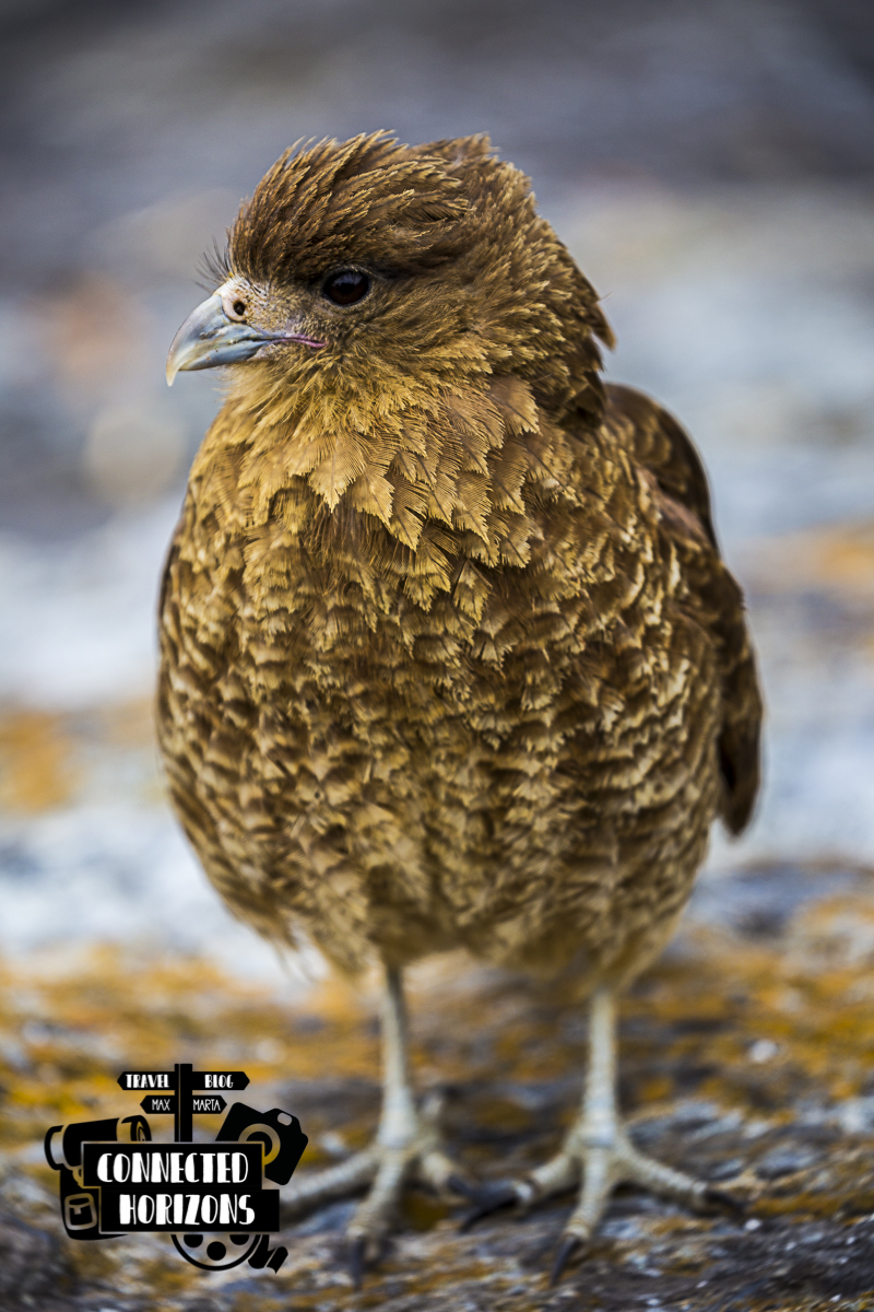
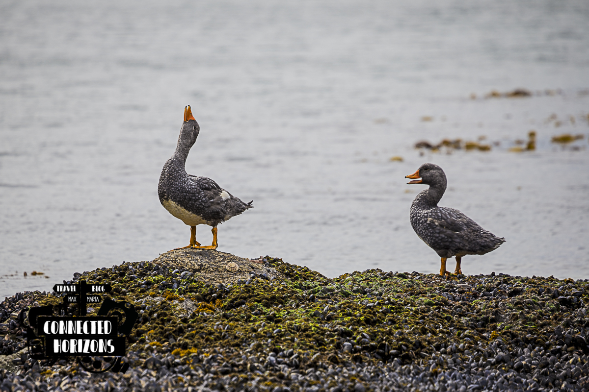
The Carretera Austral is great but what’s really amazing is what you can find at the end of it. The last stretch of Ruta 3 – past the town of Ushuaia – belongs to the Tierra del Fuego National Park (TFNP). Apart from being a great spot for hiking, wandering around the trails will also give you the chance to spot some amazing wildlife such as geese, ducks, foxes, rabbits and even beavers!
We absolutely loved the place so here’s our complete guide for making the best of your visit at the Tierra del Fuego National Park.
Entrance Price
Right now, the entrance price a foreign adult sits at 490ARG and for kids (age 6-12) at 80ARG. Be aware that due to the current inflation of the argentinian peso, we suggest you to visit the park website to check for the latest updated prices. Entrance can be paid in cash or even credit card (only visa or mastercard).
Getting there
You have three options to get to the park if you’re not travelling with your own vehicle. You can (A) take the park shuttle bus for 800ARG/pp roundtrip, (B) pay a taxi-driver/remis for the day to pick you up and drop you off for 2000-2500ARG or (C) rent a car for a day, usually 40-100$, and decide your own schedule.
*If you opt for taking the taxi option make sure to go with Raul +5492901612551, just drop him a text on WhatsApp*
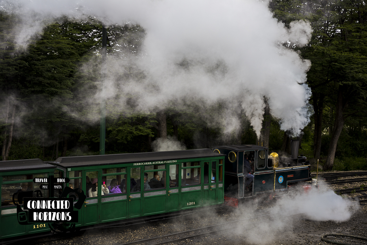
It’s also possible to get the World’s End Train, a small slow touristy train that will take you into the park; whether you want roundtrip or one-way the price is set at 1200ARG/pp.
The trails
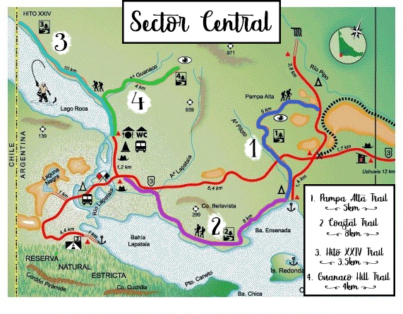
Main Sector
Pampa Alta Trail: Get you up to a big hill, 5km starting from the camping Ensenada Zaratiegui or accessed from the Ruta 3 (shorter 3.7km)
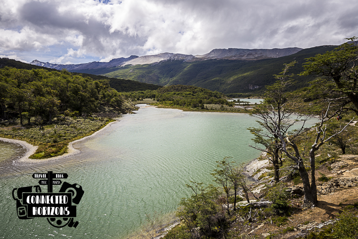
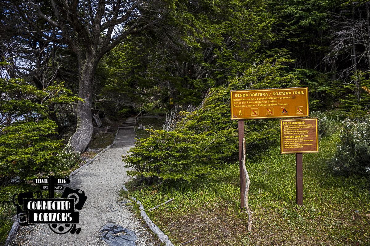
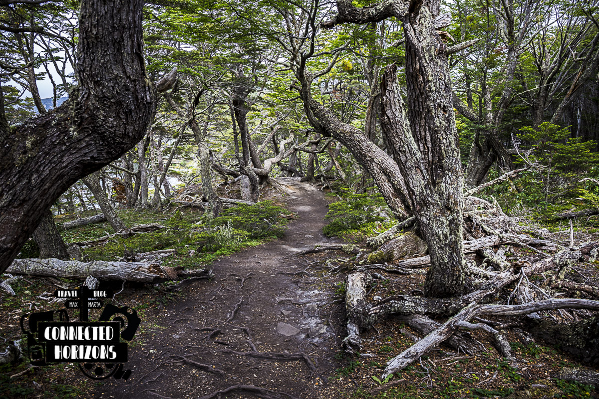
Coastal Trail: A long flat yet beautiful 9km trail that borders the Beagle Channel
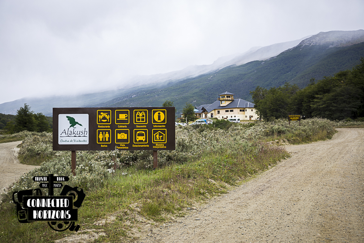 The visitor center
Hito XXIV trail: Average difficulty flat trail, accessed from just next to the visitor center, that lead to a small monument marking the border between Argentina and Chile.
Guanaco Hill: Short but had 4km path to the top of the Cerro Guanaco. Breathtaking views of the Beagle Channel and surroundings can be enjoyed from the top but be ready for a 4h climb one way!
Lapataia Sector
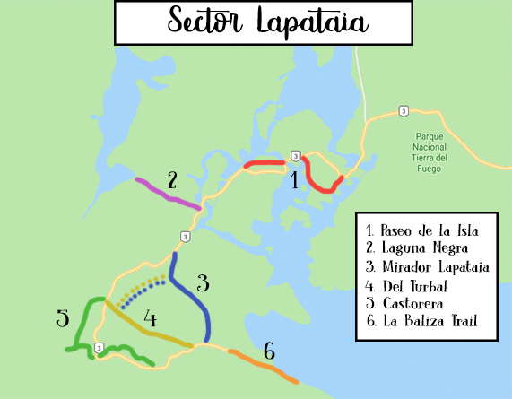
Paseo de la Isla: Nice short walk in the small island of the reserve, it’s a good trail for spotting avian fauna.
Laguna Negra: Relaxing flat walk to a peat bog and a meadowy area. Here too you have a good chance of spotting some local fauna.
Mirador Lapataia: Short 1km trail that passes through a lenga beech forest, usually used as a shortcut to get to the start of the La Baliza Trail.
Del Turbal: Short flat trail where to observe several abandoned beaver dams. It merges with the Castorera trail.
Castorera: Lovely short walk that lead you to a beaver dam which used to be active in the past. There’s still the chance to see wild beavers in the area but you have to be lucky to catch one!
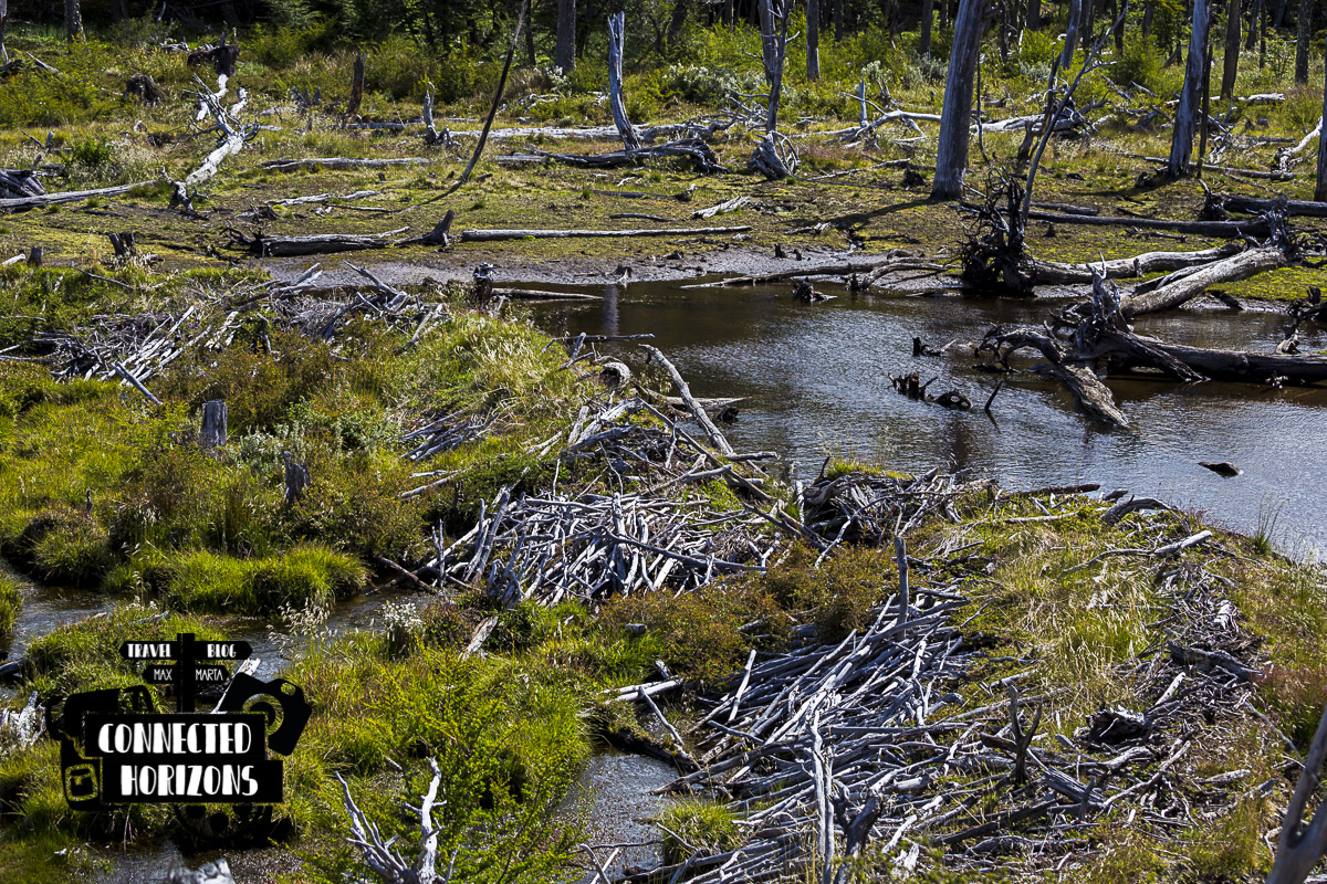 An abandoned beaver dam
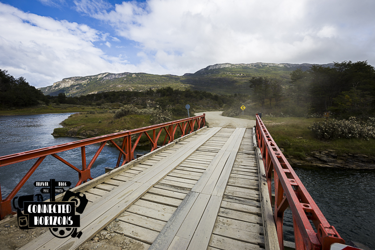
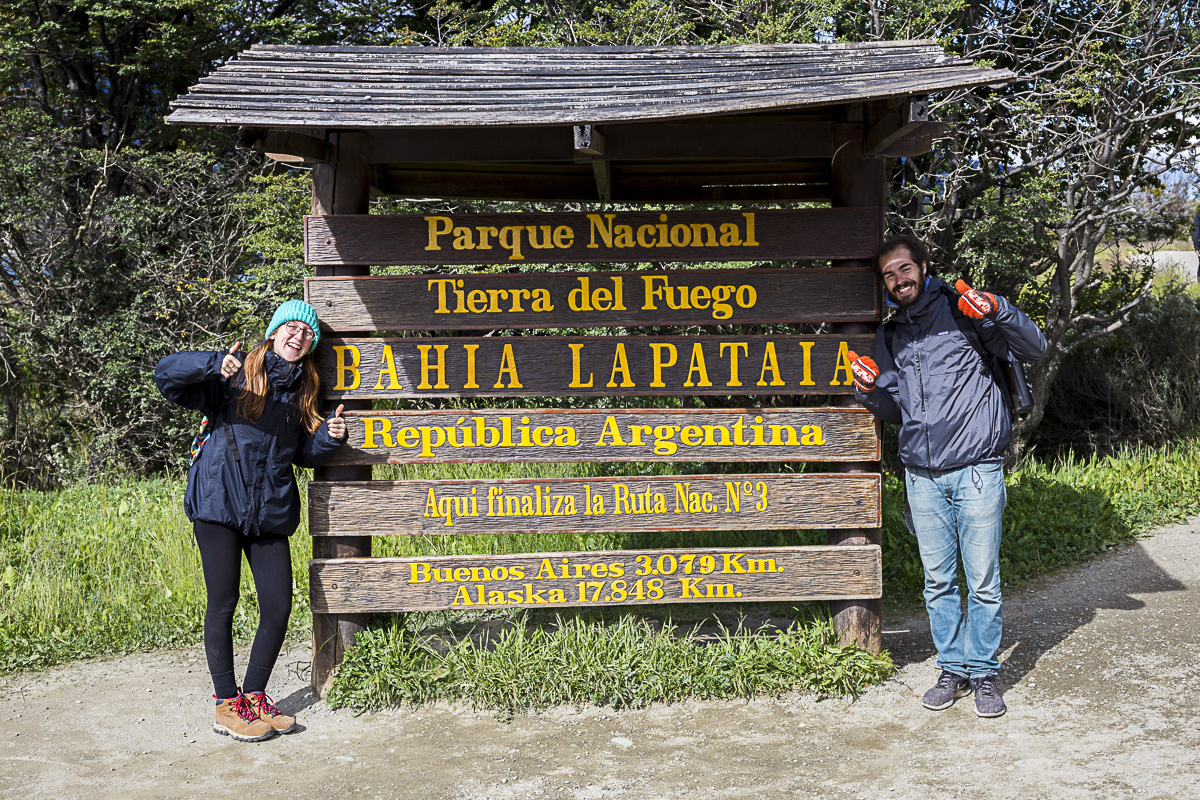
La Baliza Trail: The trail that will get you to the southernmost accessible spot in the reserve which also happen to be the end of the Ruta 3. In other words, this trail will lead you to the last bit of uninterrupted road from the Panama Canal!
If you like it, pin it!
PLANNING A TRIP TO PATAGONIA? CHECK MORE GUIDES BELOW!
[pt_view id=”b0ea451dxp”]